Drone 3D Modeling
CAPTURING OBJECTS | DATA PROCESSING
Why use drones for model creation?
-

REDUCE.
Risk & Liability
Time Assessing Scenarios
Road Closures
Inspection Errors
Resources
-

IMPROVE.
Inspections
Assessing Natural Disasters
Car Accident Scenes
Documentation & Safety
Production & Economics
-

FLEXIBLE.
Works with in-house or outsourcing programs.
Board use of applications
Software management tools
Fast data acquisition
Laser scanning (LiDAR) optional
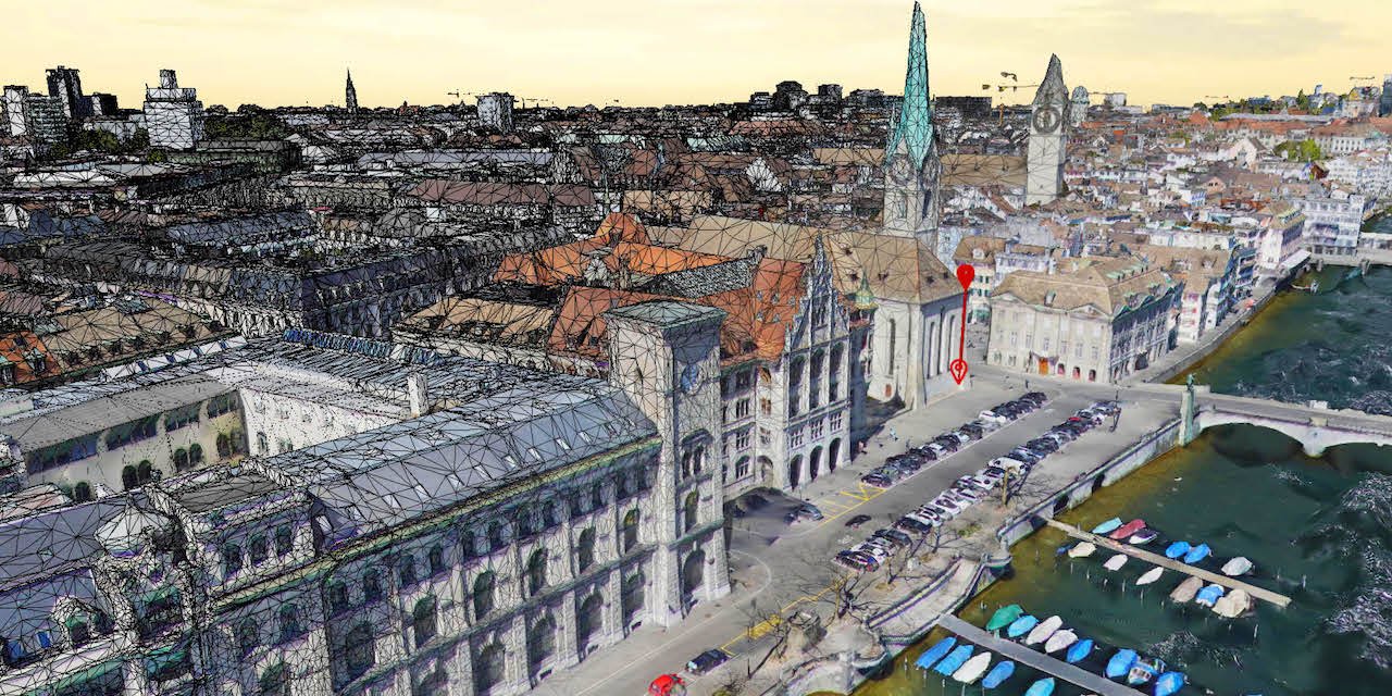
Capture Anything
Drones capture every angle, safety hazard, detailed features; you name it. Land slide? Car accident? Water Dam? Structures? Are all possible with specialized equipment and software processing.
Ideal for maintenance programs, documentation, public health services, insurance claims and additional value on aerial inspections.

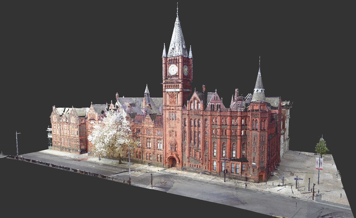
Virtual Reality
Creating a digital twin can be invaluable to many different applications. The ease of use, accessible from any device. Accurate measurements and management tools.
Helps in analyzing data, lends a platform to check and add components to develop solutions and modifications to improve performance of the asset.
3D models also help IT professionals such as gaming developers to construct close to reality terrain and maps. Engineering services with building information modeling (BIM).